Climate data
Analyses and data
on climate change
Climate change is leading to rising temperatures and extreme heat. For Switzerland as a whole, a sharp increase in heat days, i.e. days with a temperature of over 30 degrees, is expected in the future.
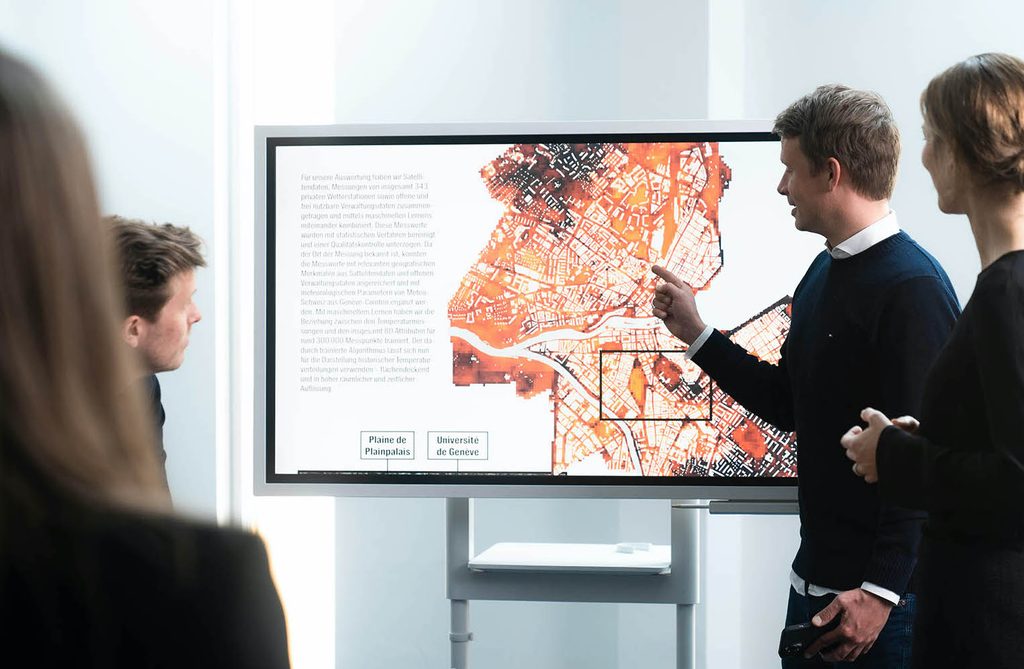
We identify potential conflicts of objectives in urban planning at an early stage, using climate data from satellite and administrative data, as well as from private weather stations.
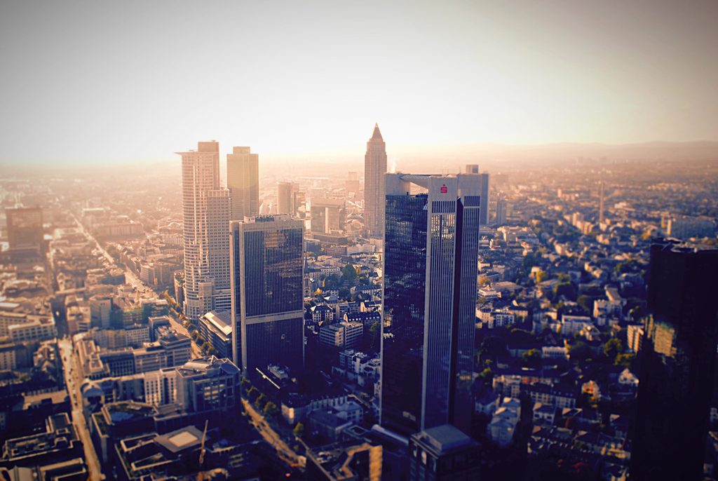
Dense building development and a large proportion of sealed surfaces mean that climate change hits cities particularly hard. This is already a health burden for the population. Rising temperatures can not only result in reduced work productivity and well-being, but also contribute to increased mortality.
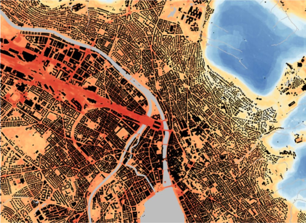
Because temperature can vary significantly within a city, the effects of a warming climate vary greatly by location and environment. An accurate understanding of spatial temperature variation is therefore essential for urban planning.
Environments solution
Wüest Environments includes a number of innovative facets that make it possible to understand current heat stress and plan measures to reduce future heat stress. The following products are part of Wüest Environments:
- Heat maps: Heat maps with high spatial and temporal resolution
- Diurnal cycle analyses: Analysis of temperature profiles at selected sites to make heat stress spatially comparable.
- Cooling effects: Analysis of the cooling effect of green spaces to understand the potential of greening measures.
- Conflicting objectives: Analysis of possible conflicting objectives, for example with regard to densification
- Climate change: Climate models to document the impacts of climate change on your site.
- Benchmarking: Extensive database for the comparison of sites in Switzerland affected by climate change
- Vulnerability analyses: analysis of the vulnerability of the population or the building stock.
How Wüest Environments works
Wüest Environments combines satellite data, open and freely usable administrative data, and measurements from private weather stations using machine learning. This allows us to create high-resolution heat maps that serve, for example, as a basis for vulnerability analyses or make possible conflicts of objectives visible. Climate models can also be used to forecast heat stress in the future.